WATER MANAGEMENT
The importance of dialogue
May 22, 2024
Daniel Chamorro
Urban network and hydraulic modeling analyst | Linkedin
Models.
Utility modeling projects often focus only on aspects such as the accuracy of the geographic location of each customer’s consumption, volumes delivered, flow or pressure calibrations with on-site meters, actions to be taken…

Key information can be uncovered from the beginning of the project that can completely change the operation of the hydraulic model by maintaining fluid communication with network managers.

Communication with the network managers remains in the background. However, by maintaining fluid communication with them at the beginning of the project, important information can be obtained about a valve, a section of pipe, or some other detail of the network that completely changes the operation of the model, rendering everything else, to which most attention is paid, as less relevent. While it is true that the manager may not always be inclined to communicate, it all comes down to the importance of talking.
A hydraulic model of a water distribution network will never be a true reflection of reality unless its key points are known. The network boundary is one of the most important points to consider.
The most important valves in the network are those that define the real functioning of the water distribution system, materializing both hydraulic sectors and different forms of exploitation.
All the other information that complements the model (consumption, demand curves, calibrations…) will be useless if the model is not correctly structured. Close contact with the people in charge of the municipal network is the key to a faithful definition of the reality of the supply and distribution system.
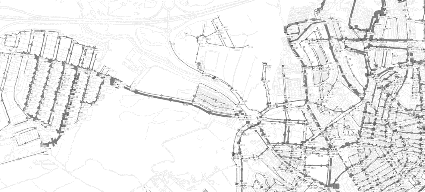
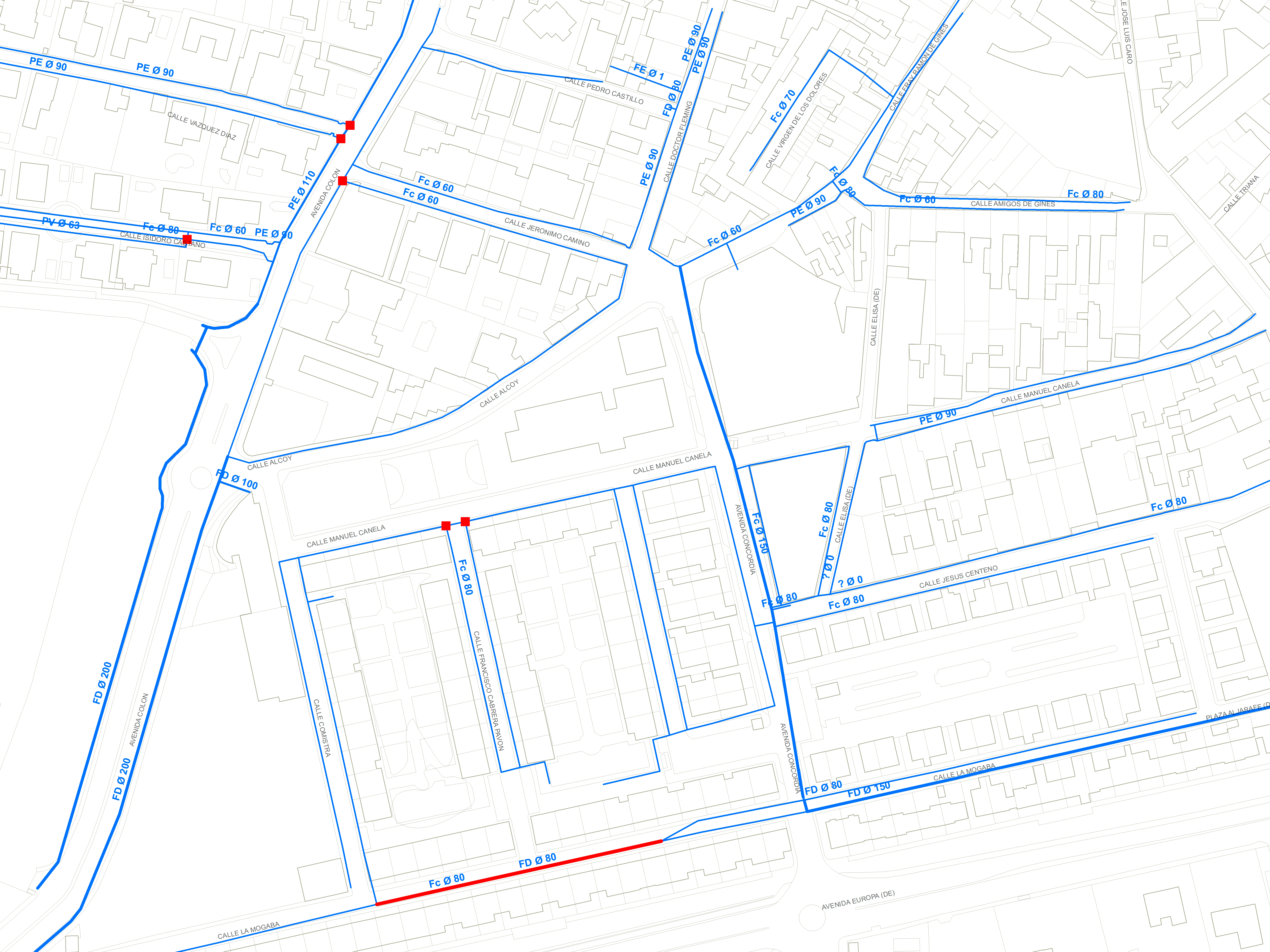
One of the main steps before developing a model of a supply or sanitation network is to analyze its definition, i.e. its geometric composition. A structure that is usually defined by a Geographical Information System or GIS.
It is important to note that in the vast majority of cases, at the beginning of the study, the engineer will only have the geographic information system at their disposal to model the network.
Although the location of the main pipelines and distribution belts can be identified at a glance, as well as reservoirs, pumping stations and wells, it is not easy to define the area served by each facility.


These initial data, a priori, provide little information about the operation of the distribution network of a given municipality, so a visit to the facilities and to the water service technicians is essential for the development of the hydraulic model, since, in addition to knowing the actual operation of the network, it will allow to question other fundamental aspects, such as pipelines not represented in the cartography, connectivity errors or projects under development.
It is not necessary to know or represent in the model the open or closed status of all the common shut-off valves, but it is essential to know those that delimit hydraulic sectors and main pipelines, as well as to represent other flow or pressure regulating valves in use.
Finally, regardless of all the documentation gathered, in order to know the operation of the water network of any municipality, it is essential to meet with the people who manage it on a daily basis, service managers, foremen and operators, who know the operation of the supply system in its entirety, as well as all its peculiarities.
“Experience has taught me that drawings are still the best way to know the ins and outs of the network. If there is no collaboration between the client and the engineer, it will be difficult for a model to reflect the reality it is supposed to simulate. As a result, the conclusions drawn and any actions taken after modeling will be of little use to the community.”


