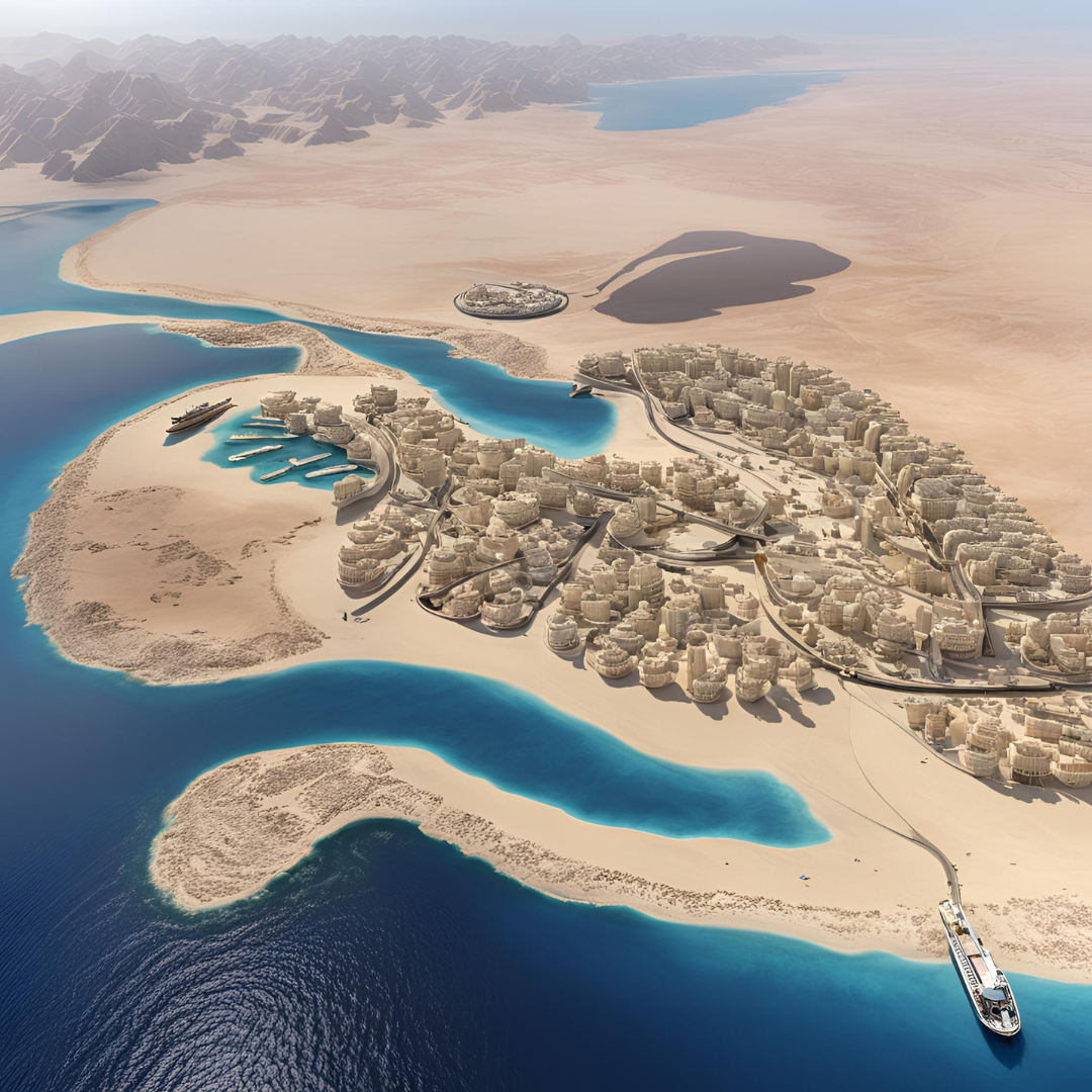
GIS Modeling of Utility Network Assets in the Red Sea Development Zone
Saudi Arabia
IDOM has developed the GIS model and BIM integration for all utility network assets (water, wastewater, irrigation, telecommunications, electricity, district cooling, power generation, etc.) in the Red Sea Development Zone, both in the design and as-built phases:
- Analysis of the initial information
- Definition of the information generation process according to the client’s specifications
- Transformation and completeness of geographic information
- Generation of the required alphanumeric information from various data sources (pdf, Excel)
- Migration of the information into the defined data model
- Spatial analysis for the calculation of the value of certain attributes
- Validation of the network topology
- Determination of flow direction
- Generation of the geometric network
- Creation of the 3D model
Digital transformation : Digital Twin : GIS
CLIENT:
Red Sea Global
SCOPE:
Autodesk
BIM
Digital Twin
ESRI
Geospatial GIS
Utilities


